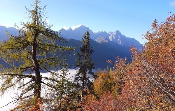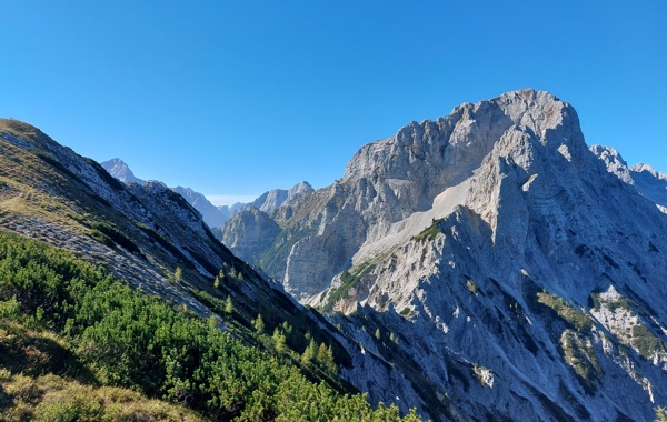
From the parking lot, we continue along the macadam road, which after a 3-minute walk leads us to the crossroads near Aljažev dom. We continue to the right in the direction of Škrlatica and Dolkova špica along the path that leads us across the meadow into the forest. We continue climbing along the initially folding carriageway, which turns into a slightly steeper footpath higher up. Soon, however, the path leads us to the bed of the torrent, along which it climbs for only a short time, then turns right and climbs steeply through the forest. The path then turns to the left, where it crosses a short avalanche slope, and then gradually passes to the slopes below Stenar. Next, we climb up the mentioned slopes, which are slightly overgrown with rushes and individual larch trees. The higher path brings us to a small crossroad, where we continue right in the direction of Škrlatica (left Stenar along the unmarked path via Stenarska vratca. The path continues to climb for a short time, and then the path flattens out and leads us to a larger crossroad, where we continue left in the direction Pogačnik's home and the bivouac on Rušje (Škrlatica on the right). The marked path bypasses the bivouac on the right side and after it climbs steeply for a short time. The slope softens ahead, and the path leads us through the karst world, which is full of chasms, cracks and caves. Beautiful the high mountain path, which takes us higher up to the next crossroads. We continue to the left in the direction of Pogačnik's dom (to the right Dolkova špica and Škrlatica over Rdeča skrbina) along the path that takes us higher up to the edge of Kriška stene. left in the direction of Križ (Krnica on the right) and the path that goes to a wide ridge quickly leads us to Bovška vratca, from which we have a view of Kriški podi, where we can see the highest Slovenian lake.
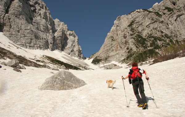
We continue left towards the top of Križ (straight to Pogačnik hut), which is only a 10-minute walk away. The path ahead first climbs gradually along an increasingly narrow ridge, and then, with the help of a steel cable, climbs steeply over a slightly exposed rock plate, after which we reach an interesting passage through a natural gully. With some skill, we climb through a narrow gully to the scenic summit.