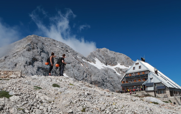
From the starting point, we continue along a worse road, which after a few minutes leads us to the turning point (parking here is not recommended). The path ahead turns slightly to the left and crosses a torrent. On the other side of the torrent, we climb slowly through the forest for quite some time. After half an hour's walking, the path begins to climb. There follows a few dozen steps of walking on a steep path, where we are helped by wedges, which are not absolutely necessary in dry conditions. The steepness then subsides and the path leads us to a spring (dry during the dry season) at an altitude of 1340m. Here, the unmarked path to Macesnovec branches off to the left, and we continue along the marked path that crosses the torrent. This is followed by a short crossing of a steep part, where a steel cable (undemanding) helps us. The path then crosses the Rušja belt and climbs higher to rockier slopes, where we can see the Fat Stone (a large boulder that can be seen at the top of the slope) in front of us. We climb up to Debeli Kamn along a gravel path surrounded by rubble. Further on, the path climbs up along a small scree and turns slightly higher to the right, where it brings us to a crossroads. We continue to the left in the direction of Staničev dom and Rjavina (a very demanding path to the right of Vrbanova spica). The slope then eases and it is a few minutes of easy walking to the next junction. We continue along the right path towards Staničevo dom, which bypasses the Pekel sinkhole, which we can see on the right below us (the path leads to Rjavina on the left along the climbing path). We continue climbing up to Stanič dom, where we have a beautiful view of Triglav.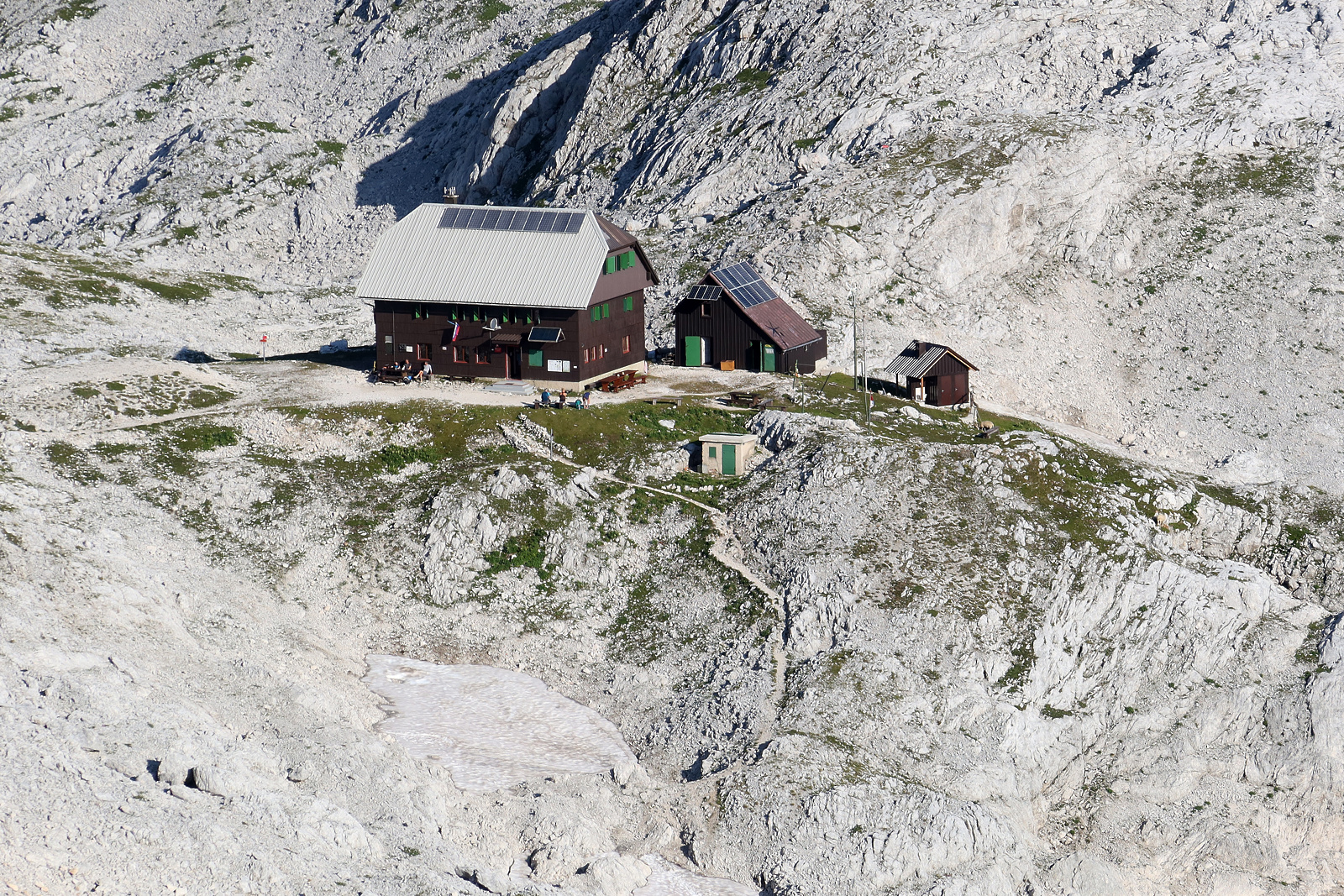 Stanič hut, Gregor Kofler
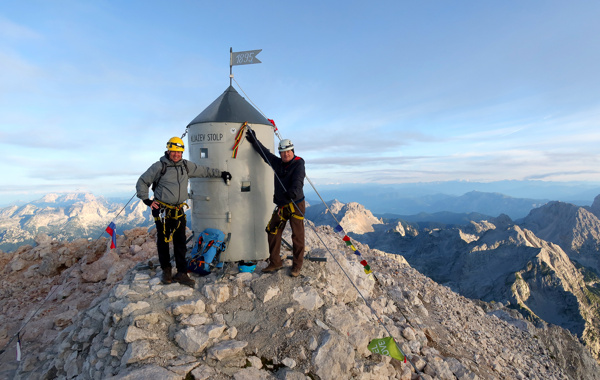
From Stanič's hut, we continue along the path in the direction of Krma and Rjavina. The path climbs moderately at first, but then leads us to the next crossroads, where we continue left in the direction of Rjavina (straight to Krma). The path then descends slightly and brings us to the indistinct hamlet of Dovška vratca. From here on, the path begins to climb steeply along the western slopes of Rjavina. With the help of some guardrails, the path leads us to the ridge of Rjavina. This is followed by a scenic walk along the ridge to the western pre-peak, after which the path descends slightly and the climbing path from the Kot valley joins us from the left. We continue straight and the increasingly scenic path leads us to a vertical fireplace, after which we descend for just under 30m (protected only by wedges and staples). The path, which becomes easier, takes us past two natural windows in a few minutes to a scenic peak.