Before embarking on an individual tour, always make sure of avalanche (un)safety and monitor the weather forecast.
If you do not have suitable and sufficient experience, hire a mountain guide for the tour.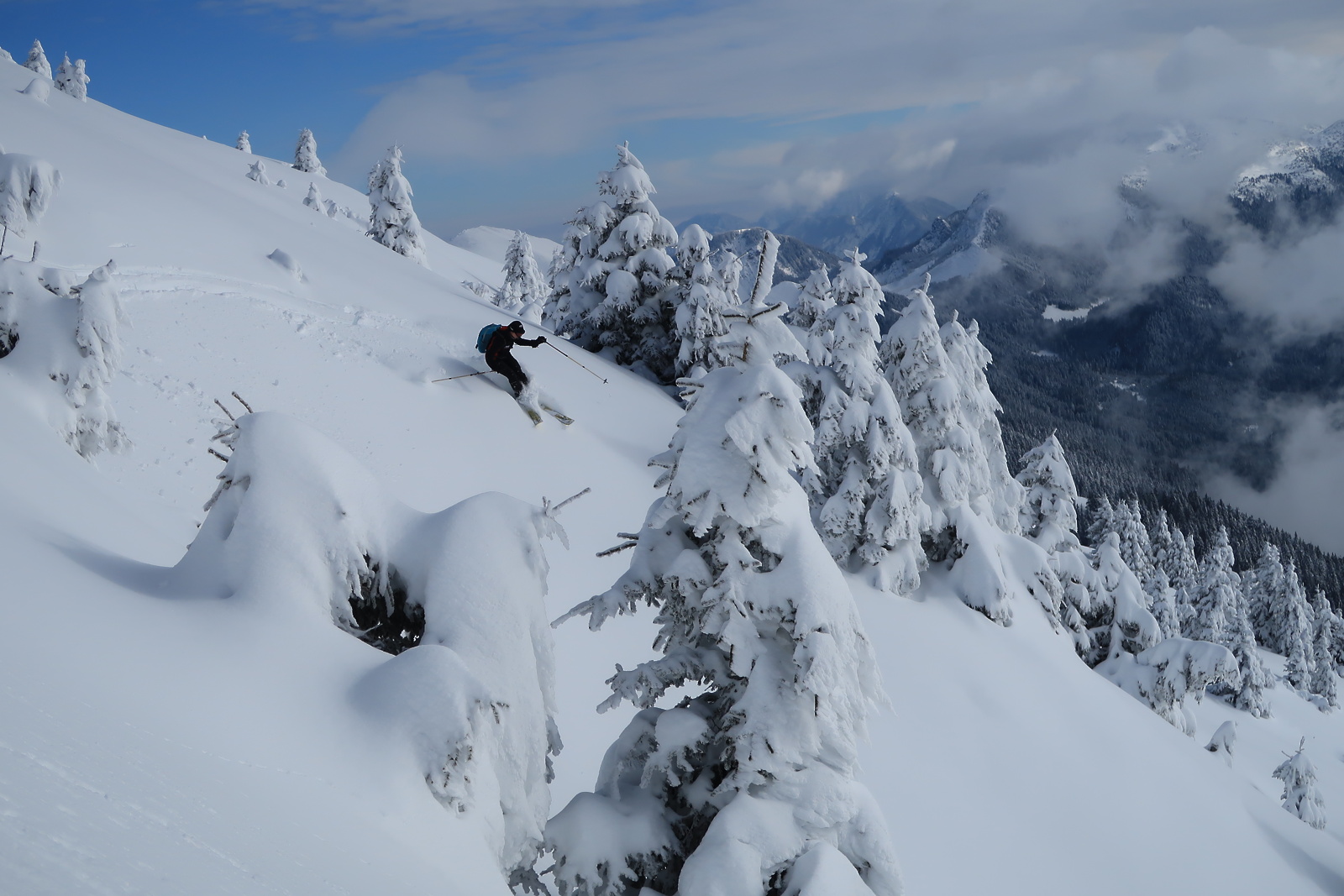 Ski touring from Dovška Baba, Gregor Kofler
Dovška Baba (1.891 m)
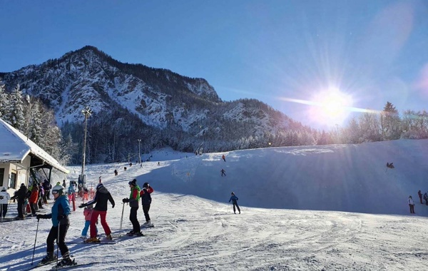
A beautiful view, a vast summit slope and a forest road that makes the descent easier in the lower part are the highlights of Dovška Baba above Dovje.
These features attract many touring skiers who enjoy nicely winding turns in the soft terrain.
- Starting point: from the village of Dovje, east- wards across the Mlinca stream
- Difficulty: easy
- Skiing length: 6–7 km
- Difference in altitude: 1,150 m
- Walking time: 4 h 30 min
From the Mlince stream, follow the forest road eastwards past the distinct Blaščeva skala, which can be seen on the left at the first serpentines. Soon after, go NW up through hayfields and further up, through the woods in places, to shortcut a big bend in the road. Take a sharp left to a new lodge on the Ravne hayfields, where the next shortcut branches off right up over the hills. Follow it to the Lahov preval below Bela peč, from where you can climb steeply through the forest or continue round the road (a big detour) to the Dovška Rožca mountain pasture (1,652 m, shepherd’s hut). Continue NW across the hills to the summit.
The descent follows the route of the ascent. Normally you would ski around on the road, but there are also ski lines through the steep forest in the area of the road, but pay attention to avalanches.
Kredarica (2,515 m)–Triglav (2,864 m), from Krma
The Triglav downhill was once an alpine skiing competition, with international participation. Later, it lost its competitive character and became only a mass ski touring downhill event. Today, it has been replaced by organised ski touring downhill from Kredarica. Kredarica offers maximum comfort for winter conditions, most winter visitors ascend from and descend back to Krma. When conditions are good, the most skilled will climb Triglav too, which, in the snow, is no piece of cake.
- Starting point: Kurja vas in the Radovna Valley (access by road from Bled or Mojstrana)
- Difference in altitude: 1,565 m + 350 m to Triglav
- Skiing length: 7.5 km
- Difficulty: difficult
- Walking time: 6–7 hours
Continue along the road to Krma (the road is not cleared in winter), past the Kovinarska koča lodge on Zasipska planina, and on to Garaže (a storage area, the last lodge in the valley). From Garaže, follow the summer trail as it turns right into the forest and begins to ascend. After the initial slope, you will reach the Pleša plain, followed by Vrtača and, after a short climb, Polje. At Polje, turn right through the narrow Travna dolina and you will see an old hunting lodge on a sun- ny ledge behind a hill in the left part of the slope, and a new shepherd’s hut nearby. From the hut, continue north along the narrow and steep Travna dolina. Crossing a steep ledge, climb up to the plateau below Kalvarija. From the broad plateau, head north-west, at first gently sloping to the east. Higher up, turn left to the west onto the Kalvarija–Kredarica connecting ridge (caution, avalanche terrain). Continue north-west along the wide connecting ridge to the Triglavski dom lodge at Kredarica.
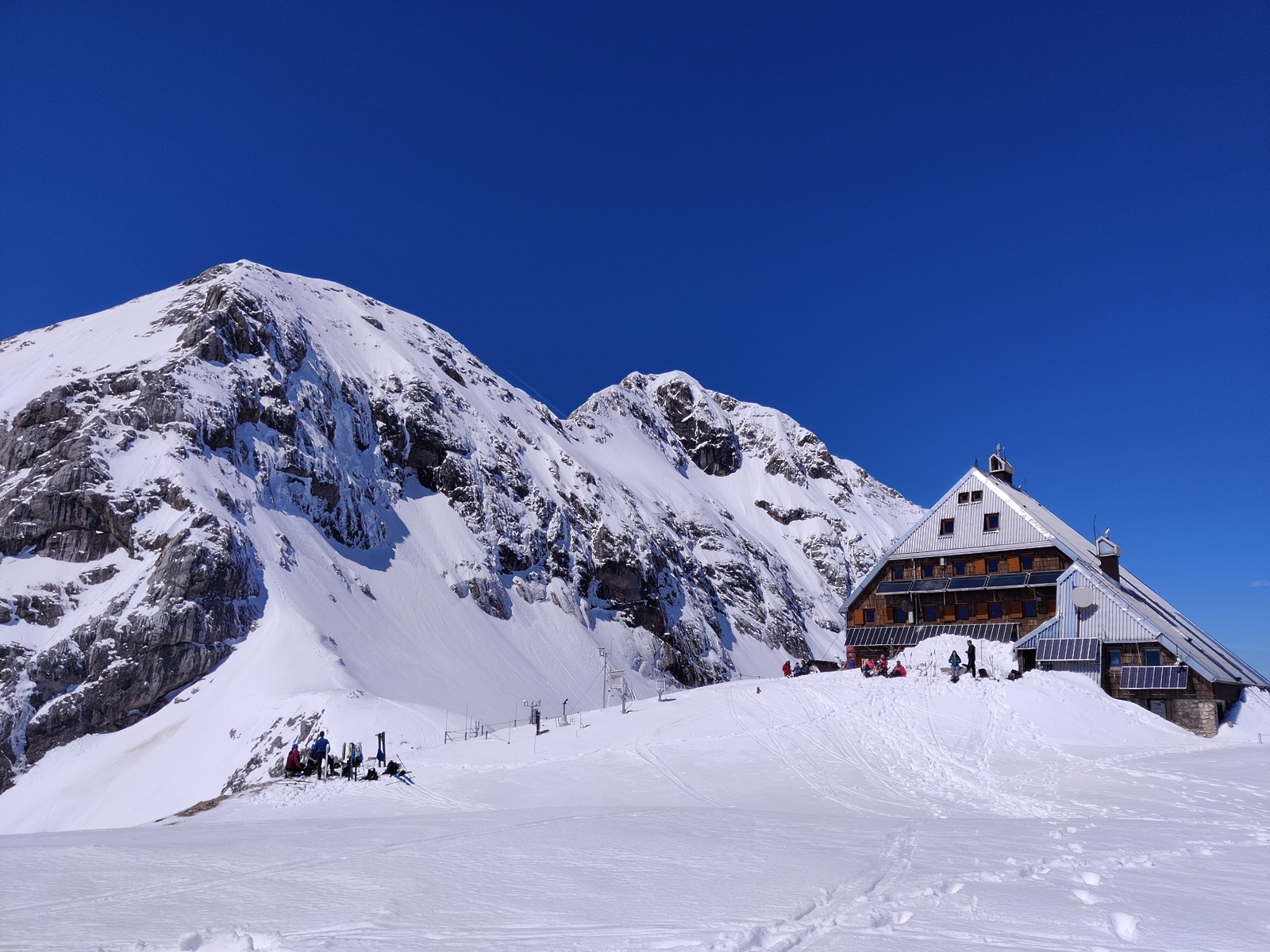 Triglavski dom hut with Triglav, Eva Schmitt
The descent follows the route of the ascent. The first part of the descent is well marked with winter markings. You have to be extremely careful, as there is a high risk of avalanche hazard. Continue past the hunting hut and the Travna dolina to Polje. When there is no avalanche hazard, start crossing the slopes to the right above Vrtača as soon as the terrain permits. Later, depending on the amount of snow, pine trees and snow remnants, choose the most suitable height to cross below Draški vrhovi. Once you have skied to the forest, you can continue on the avalanche paths all the way to the starting point – Garaže, and then continue along the road past the Kovinarska koča lodge to Kurja vas in Radovna.
Cmir (2.393 m), Begunjski vrh (2.461 m)
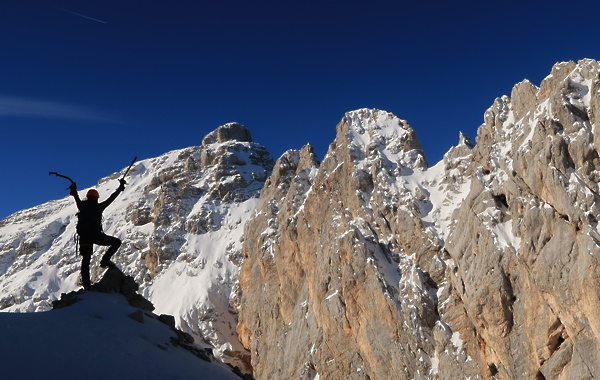
Krnica behind Cmir lies almost in the heart of the most besieged part of our mountain world, but in summer it is extremely isolated. In winter or late spring, it’s a completely different story. Behind Cmir, on fine weekend days, dozens of mountaineers go skiing. Ski touring in this valley is almost unrivalled in the country. The long, steep northern slopes are also attractive because they allow skiing even into June. You can extend your tour to Staničev dom, Kredarica or even Triglav.
Starting point: Turkov rovt on the road to Vrata (900 m), where the road approaches the Triglavska Bistrica stream. Here stands an information board about the educational forest trail. A dirt track branches off to the left and continues on the other side of the stream.
The road is normally dry from mid-April. If you choose to go earlier than that, access will of course take longer.
In winter (from 15 November to 15 April) the road to Vrata is closed, so you have to walk another 10 km along the road from Mojstrana.
- Difference in altitude: 1,560 m, from Begunjski vrh to Kredarica 1,615 m
- Skiing length: 3–5 km
- Difficulty: difficult
- Walking time: 7–8 hours
Follow the dirt track more or less straight up. The path then heads eastwards, taking a couple of steep climbs along the way. Keep left at every fork. Less than an hour later, exit the forest onto the vast scree below Cmir. You should climb the scree just below the foot of the Cmir wall. Con- tinue along the poorly trodden path among the pines and go straight up the rocky slope. During the ascent it is very useful to remember the best stretch of snow to ski on the descent. Below the wall, traverse left to the steep slope between the Spodnja Vrbanova špica and Cmir. Climb up the right-hand side to the edge of the horizontal ga- ble of the valley at an altitude of 2,000 m. From the edge of the gable, follow the valley bed be- tween the boulders, then climb more or less in a gully to one of the saddles. To top it off, you can choose to climb to Begunjski vrh (2,461 m), visit Staničeva koča or continue under the Rž walls up to Kredarica (2,515 m).
The descent follows the route of the ascent. The eastern part of the area gets more sun. In good conditions, you can ski right up to the edge of the forest or the road. There is a risk of avalanche hazard along the entire length of the route, and slipping hazards on frozen snow. Extreme caution is therefore needed, especially in winter.
